AS048, Eilath, Israel

Eilat, Israel
Thumbnail profile: Eilath
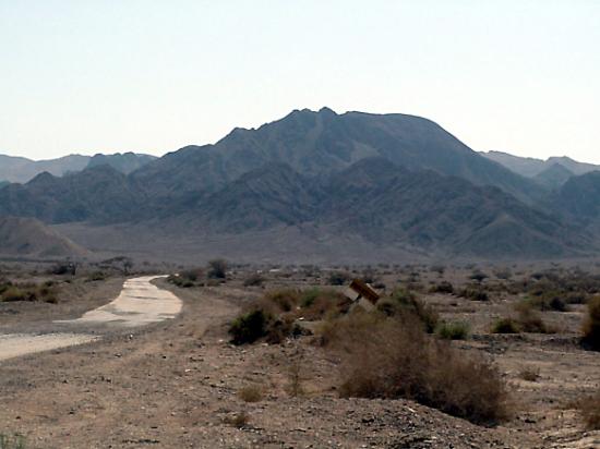
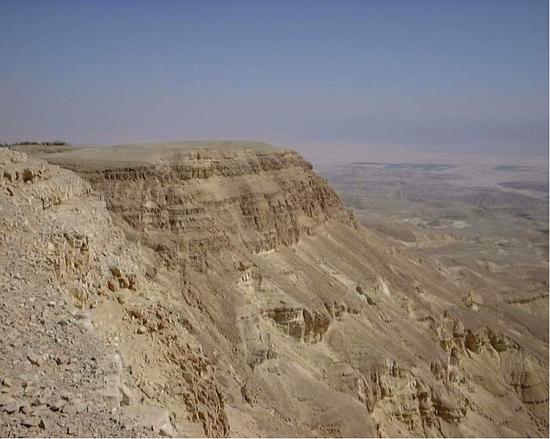
Home to 50,000 people, Eilath belongs to the Southern Negev Desert and straddles the southern end of the geographic line that separates Africa from Asia. Its location is adjacent to the Egyptian village of Taba to the south, and the Jordanian port city of Aqaba to the east.
Eilath is ancient, having been mentioned several times in the Bible, first as one of the stations of the “children of Israel” after their exodus from Egypt. In the modern era, Eilath was designated as part of the Jewish state in the 1947 UN Partition Plan. Having started out as a military outpost, Eilath quickly grew as the area's resources were surveyed and developed. Following peace treaties signed with Egypt in 1979 and Jordan in 1994, Eilath's borders with its neighbours were finally opened. Today some 20% or over 10,000 of Eilath's population is made up of foreign workers, employed as caregivers, hotel staff or construction workers. Eilath became a free trade zone in 1985.

Eilat's semi-arid desert climate is moderated by its proximity to the tropical Red Sea.
Geology and Environment
Outside AS48
Mandate of Auxiliary Seismic Stations

IMS Station Location
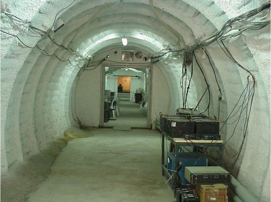
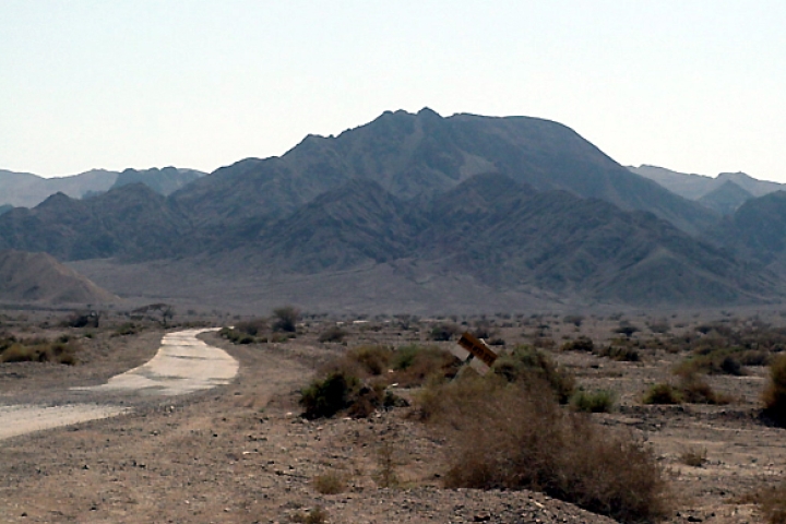
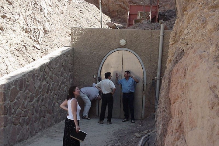
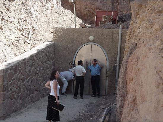
Inside a long tunnel excavated in granite from Mt. Amram, the station is located on the flanks of the Arava Valley, part of the Dead Sea rift valley, about five km west of the Eilat-Beer Sheva highway. Aqaba airfield is located about 16 km away. The site is accessible all year round.
...inside a long tunnel excavated in granite from Mt. Amram.
Station Profile
AS48 station is located at the Adolpho Bloch Geophysical Observatory on Mt Amram and near Eilath, Israel. The observatory was established in 1969 by the Department of Applied Mathematics of the Weizmann Institute of Science in Rehovot, Israel as part of the Worldwide Standard Seismograph Network (WWSSN).
For a decade it has operated as one of the most sensitive of the network’s auxiliary seismic stations. After the observatory ceased functioning in 1979, the Weizmann Institute of Science granted the Seismology Division of the GII permission to use the site as a geophysical observatory.
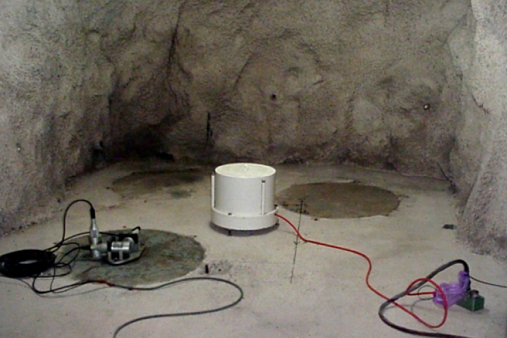
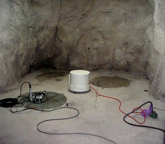
In terms of seismic equipment, the observatory is located in a 175-metre long tunnel that is 3x3 metres in diameter. It houses equipment installed both before and after 1995, when the GII assumed responsibility for station operation, and also contains equipment installed by the IMS.
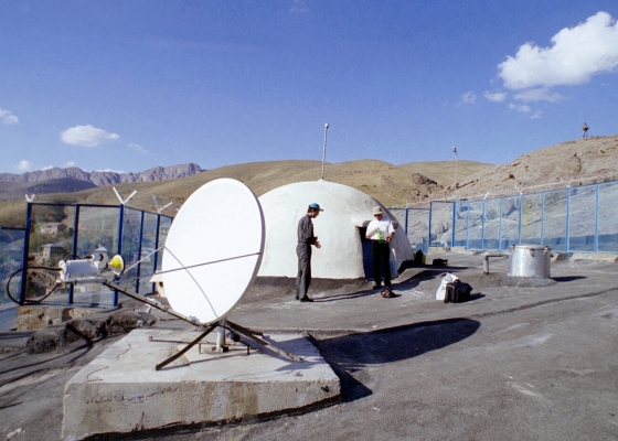
The tunnel is separated into four parts by three thick, heavy doors, as in a submarine, to minimize variations in air temperature and pressure in order to ensure that the seismic measurements are as precise as possible. Temperature conditions are very stable at this depth into the bedrock. The digitizer (i.e. a device that converts analog signals into digital signals) installed in the tunnel is connected to an external Global Positioning System (GPS) via a fiber-optic link. The GPS antenna is installed outside the tunnel with good radio visibility of the sky.
The site is unmanned. The tunnel entrance is locked with a double-patented lock and fenced with barbed wire.
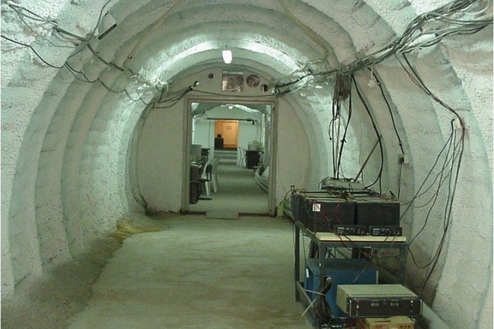
Tunnel leading to the seismometres
Testing and Certification
In addition to AS48, Israel hosts one other auxiliary seismic station and one radionuclide laboratory.