IS5, Hobart, Australia
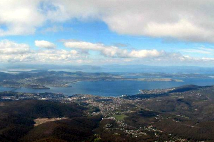
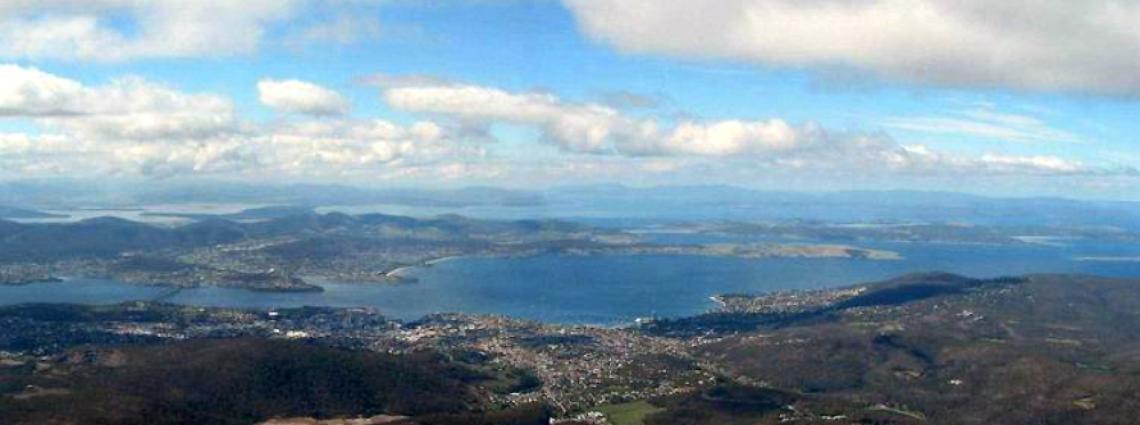
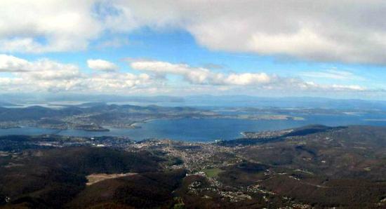
With an an area of about 68,000 km² and an estimated population of almost 500,000, Tasmania, the southern most of all Australian states.
Thumbnail profile: Tasmania

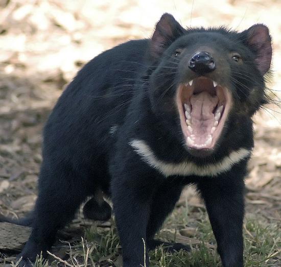
Tasmania’s most famous inhabitant, the Tasmanian Devil. Credit: Wayne McLean.
Geography and Weather


Infrasound stations monitor local atmospheric pressure changes caused by infrasonic waves and detect very low-frequency sound waves in the atmosphere.
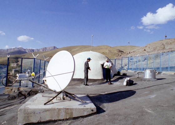
Station location
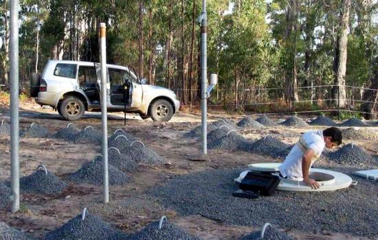
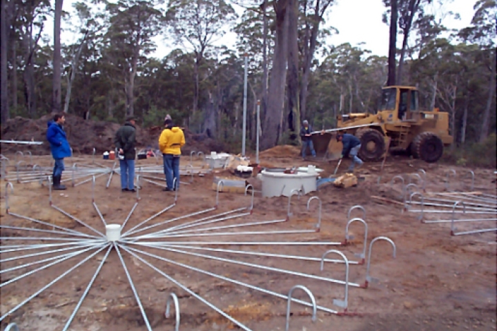
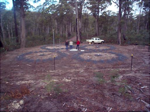
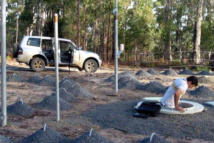
Station construction was completed over a period of 13 months from April 2002 to March 2003.
Station Profile
Learn more about how infrasound technology works.
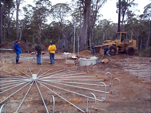
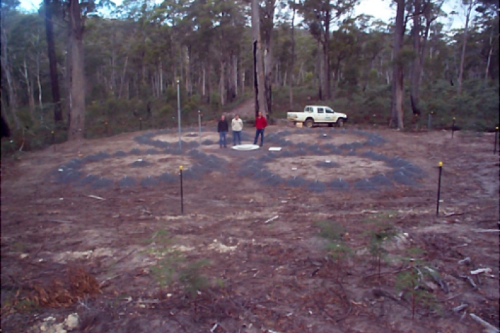
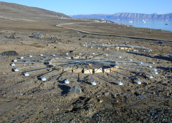
The IS05 infrasonic array consists of eight array elements and of a Central Processing Facility (CPF).