IS13, Easter Island, Chile
Thumbnail Profile: Easter Island
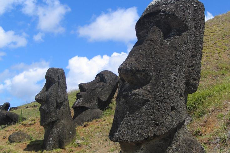
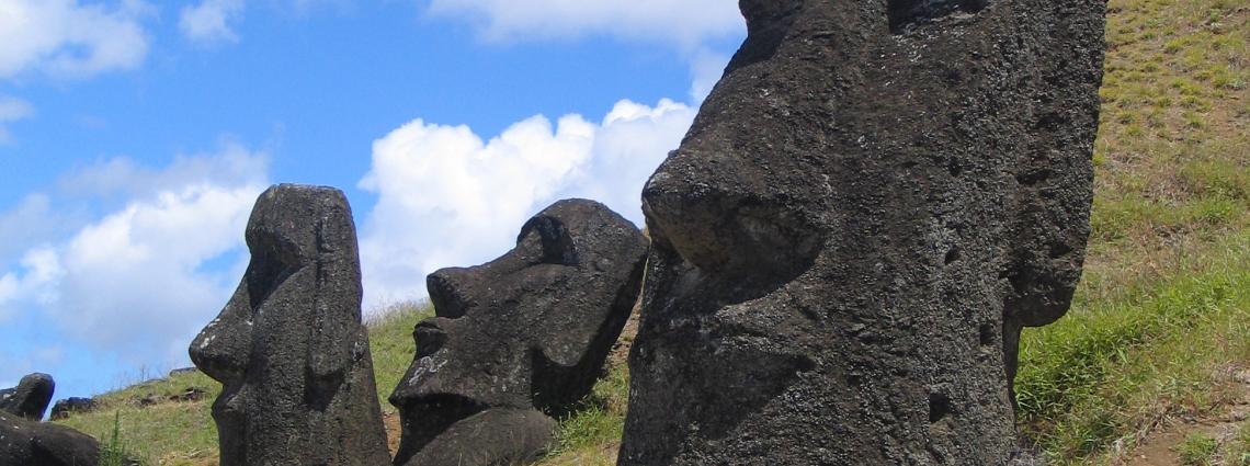
The mysterious giant stone monoliths, known as Moai, which stand along the coastline gazing inwards, are recognized the world over as representing an ancient civilization at its cultural zenith.
Geography and Weather
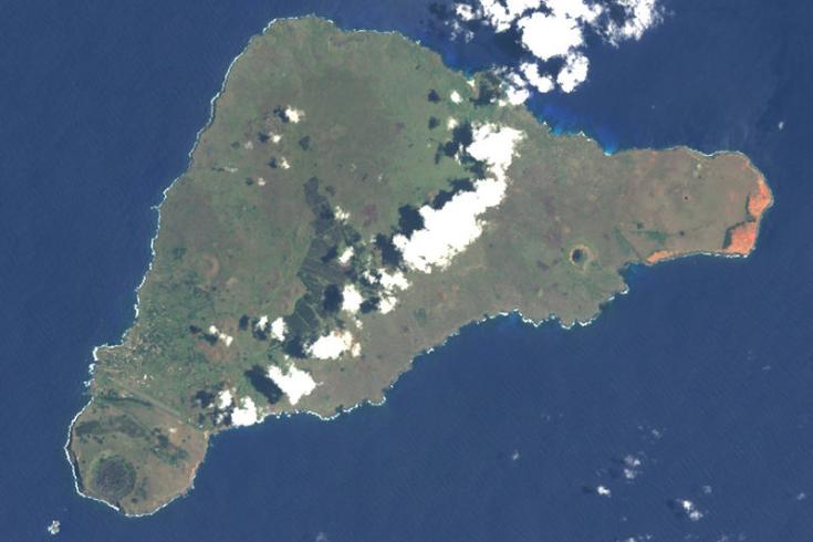
Easter Island is located some 3,600 km west of Chile in the Pacific Ocean.
Station location
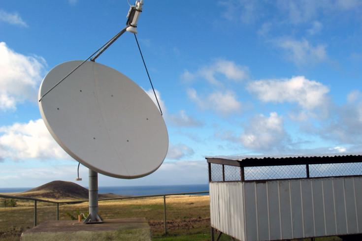
The infrasound network is designed to monitor for micropressure changes in the atmosphere caused by the propagation of infrasonic waves.
Station profile

Transporting equipment of IS13 for installation.
The survey for this completely new station was carried out by the Department of Geophysics of the University of Chile in collaboration with the PTS.
Station evaluation and certification
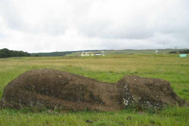
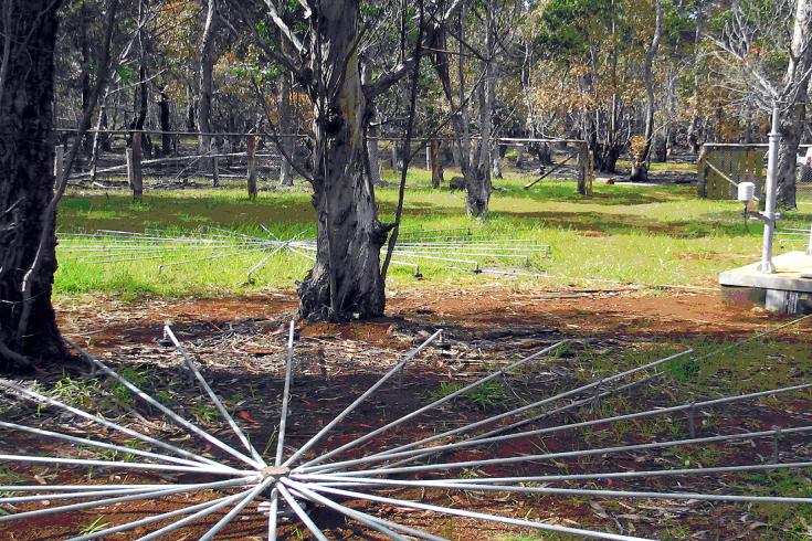
All three IMS stations on Easter Island (here radionuclide station RN19 behind a fallen Moai) are unmanned.