PS36, Petropavlovsk-Kamchatskiy, Russian Federation

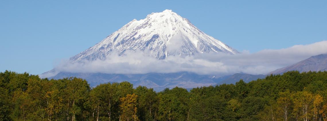
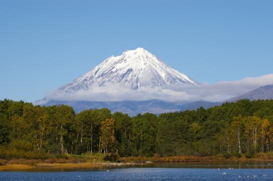
Koryaksky Volcano near Petropavlovsk-Kamchatskiy
Thumbnail profile: Kamchatka Peninsula
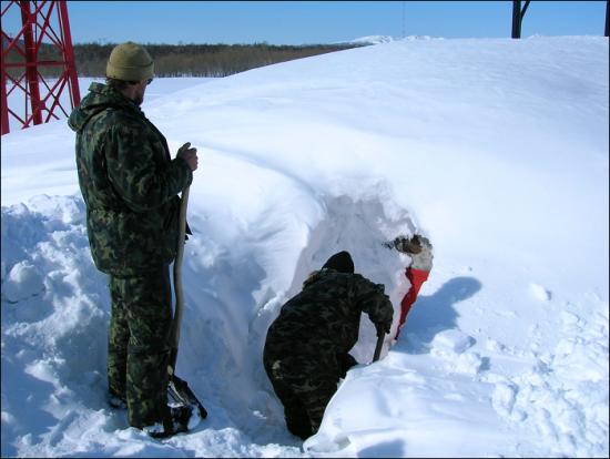
The average annual temperature is -3°C while absolute minimal winter temperatures can fall to -53°C.
Weather, Geology and Topography

The climate is subarctic with precipitation averaging about 860 mm, or triple the Siberian average, most falling as snow.
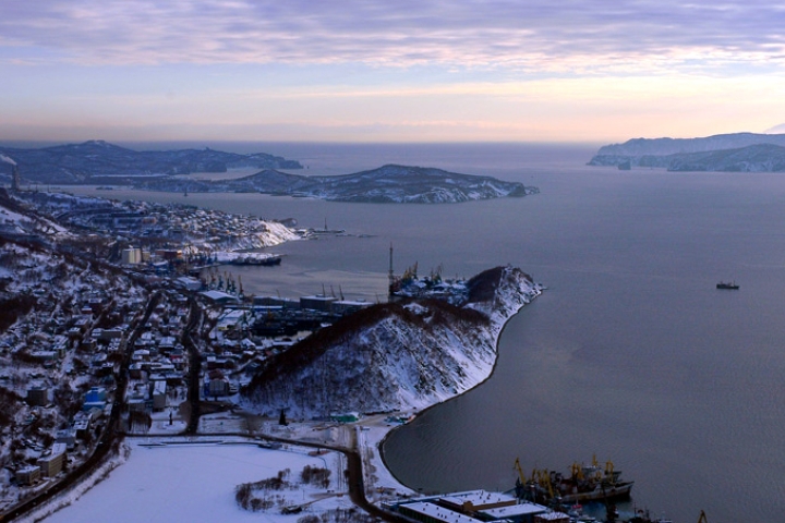
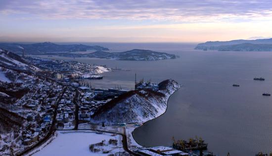
Aerial view of Petropavlovsk harbour.
Petropavlovsk
Shrouded in military confidentiality until the early 1990s, Kamchatka was closed, not only to foreigners but even to most Russians, due to its strategic military importance and the presence of military bases on the peninsula. For example, it is home to the Russian Pacific Submarine Fleet, as well as the site of several airbases and a testing ground for intercontinental ballistic missiles.
The “frontier town” of Petropavlovsk-Kamchatsky serves as the administrative, industrial, scientific and cultural center of Kamchatka Krai (Russia) and is by far the largest town in extreme northeastern Russia.
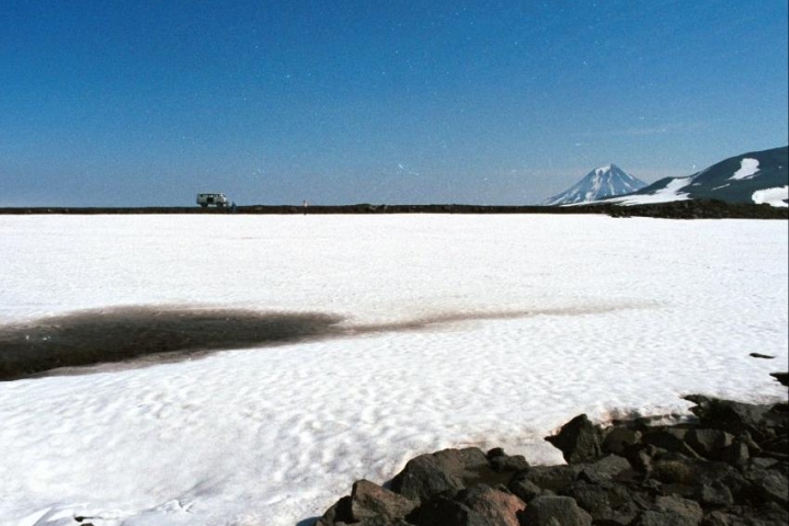
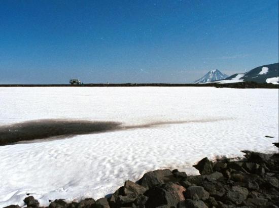
Mountains and volcanoes are typical of the landscape.
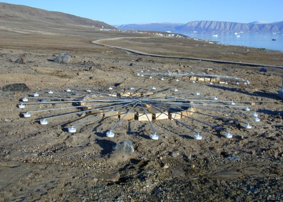
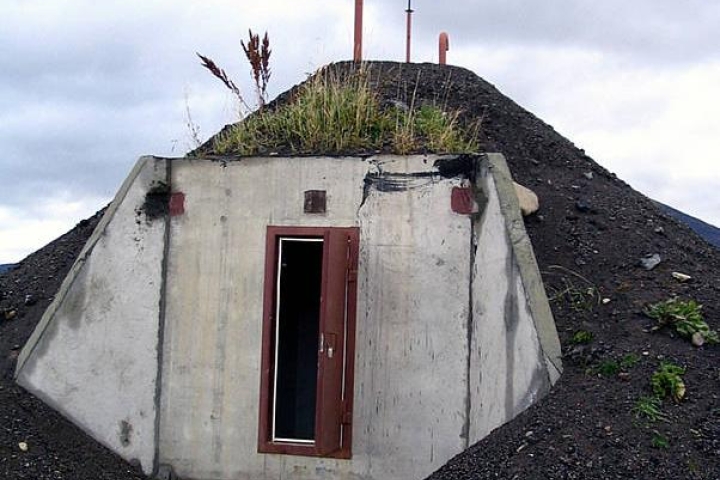
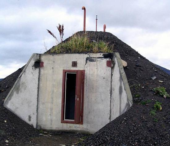
A array of infrasound station IS44 shortly after construction.
Station Location
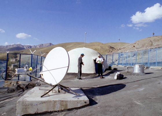
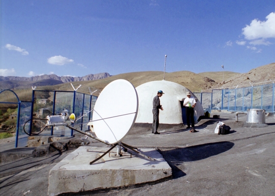
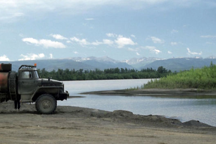
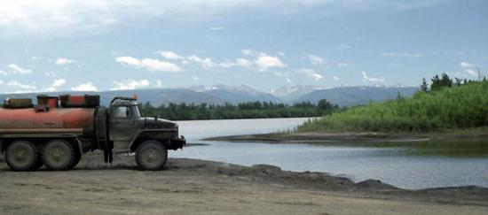
PS36 is located in the valley of the Plotnikov River about 100 km north of the town. It is notable that, besides this primary seismic station, Petropavlovsk-Kamchatskiy also hosts two other IMS stations: infrasound station IS44 and radionuclide station RN60.
According to the IMS 2006 Certification Report, this particular area of the Kamchatka peninsula is characterized by the “frequent occurrence of hurricanes, earthquakes, forceful continuous blizzards, intense precipitation, avalanches and tsunamis in the coastal regions”.
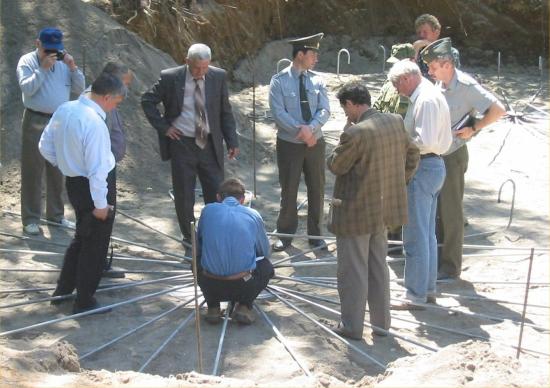
PS36 is located in the valley of the Plotnikov River about 100 km north of the town.
Learn more about the seismic, infrasound and radionuclide technologies.
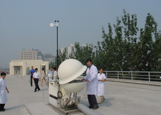
Equipment in the Central Recording Facility (CRF), as well as the power and communication sub-systems, are shared with the geographically co-located infrasound station.