PS46, Lajitas, Texas, United States

West Texas is remote and has a much lower population density than the rest of the state.
Thumbnail Profile: West Texas
El Paso, a commercial, university and military town with a population of some 625,000 people, is largest city in West Texas. It borders on the U.S. state of New Mexico to its west and the country of Mexico to the south. West Texas is remote and has a much lower population density than the rest of the state.

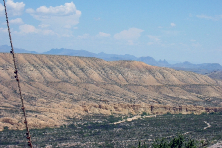
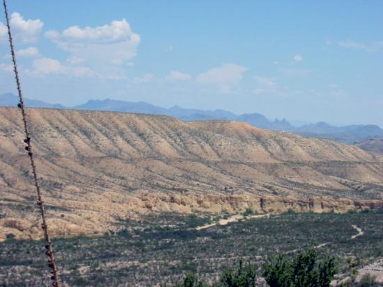
Area surrounding PS46 station location
With its sparsely populated and relatively unpolluted land and its wide open spaces, West Texas has also become a destination for people seeking respite from busy urban life. The region has recently become known for is numerous wind turbine generators that produce pollution-free electricity.
Geography and Climate
Geographically, West Texas has more in common with the Southwestern United States than it does with the rest of the state of Texas. Well-known for its natural beauty and many small mountain ranges, much of southern West Texas west of the Pecos River belongs to the Chihuahuan desert.
This part of Texas has a climate that many find pleasant: cold nights contrasting with warm afternoons in winter; hot days contrasting with refreshingly cool nights in the summer.

West Texas has also become a destination for people seeking respite from busy urban life.
The United States hosts more IMS facilities than any other CTBT Member State: these include four other primary stations in addition to PS46, 12 auxiliary seismic stations, two hydroacoustic stations, eight infrasound stations, 11 radionuclide stations and one radionuclide laboratory.


Because this semi-arid climate receives far less rainfall than the rest of the state, West Texas is heavily dependent on irrigation to support its agricultural sector.
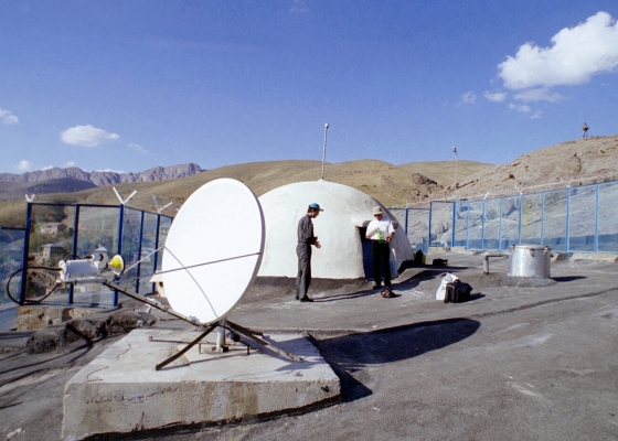
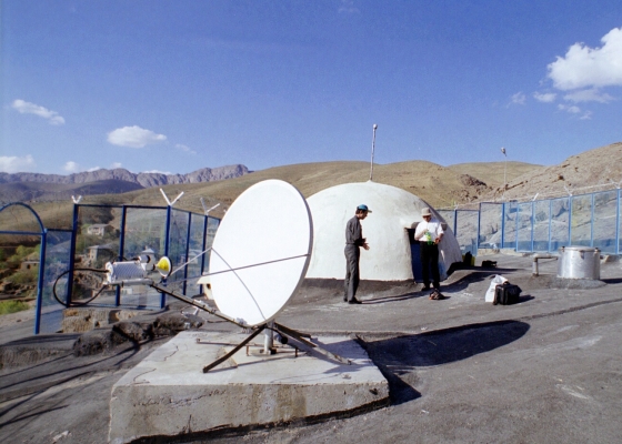
Station Location


Cactai and low shrubs are typical of the dry Southwestern desert climate.
Station Profile
Learn more about how the seismic technology works.

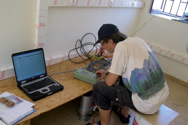
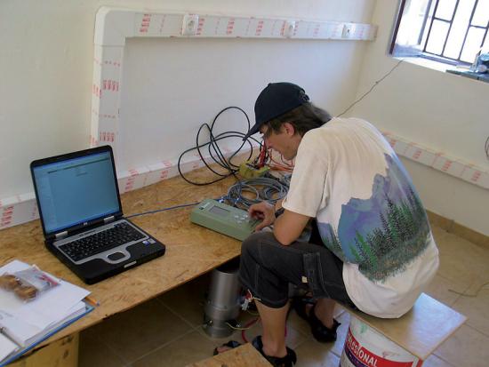
Officer performing certification measurements.
Testing, Evaluation and Certification
Data authentication devices and Global Communications Infrastructure (GCI) were in place and had been demonstrated to work properly. The station had performed at a high (average 98% or more) data availability rate and the data, sent to the International Data Centre (IDC) via the United States’ independent sub-network, had been used successfully in the IDC Processing for a substantial time. The station had a good long-term performance record and a competent operations and maintenance staff. Consequently, this station was certified on 20 December 2001.