RN40, Kuwait City, Kuwait
IMS Station Location
RN40 is located about three metres above sea level on the southern shore of Kuwait Bay, west of the Arabian Gulf in Shuwaikh, Kuwait City, Kuwait. RN40 is within the premises of the Kuwait Institute for Scientific Research (KISR).
IMS radionuclide station RN 40 is a particularly important station for Comprehensive Nuclear-Test-Ban Treaty (CTBT) verification in the Middle East, as it is currently the only radionuclide station in the region. The only other radionuclide station in the region foreseen in the Treaty, RN36 in Teheran, is still in the planning stage.
Learn more about how the radionuclide technology works.
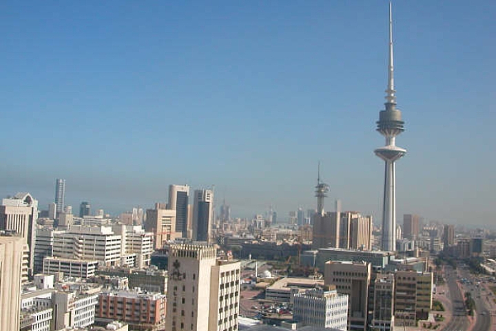
Skyline of Kuwait

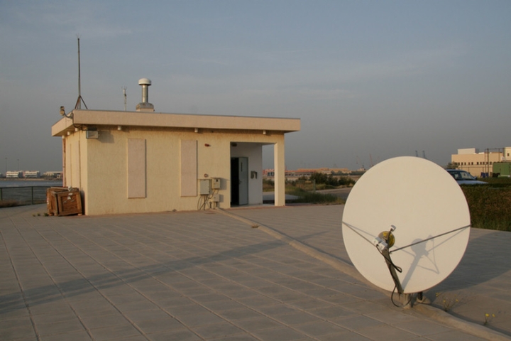
RN40 is located about three metres above sea level on the southern shore of Kuwait Bay.

Weather and Geography
Kuwait is 17,818 km² in area, mostly flat, sandy desert gradually sloping towards the sea.
Due to Kuwait’s location in the Sahara geographical region, the country’s weather is characterized by long, hot, dry summers and short, warm, sometimes rainy winters. Dust storms almost always occur with a rise in humidity during summer. The highest temperature ever recorded was 52°C in July 1978, making Kuwait the fourth hottest country in the world.
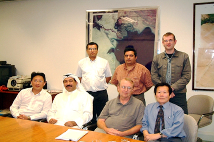
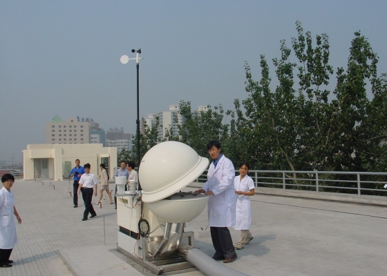
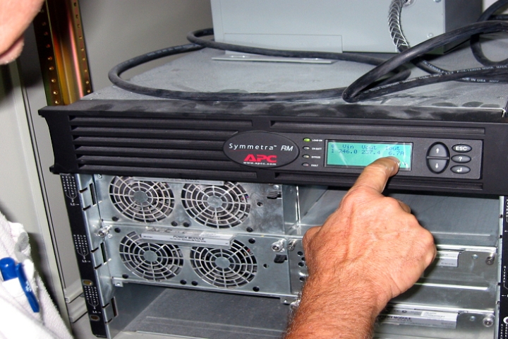
Station operators were trained during installation of equipment

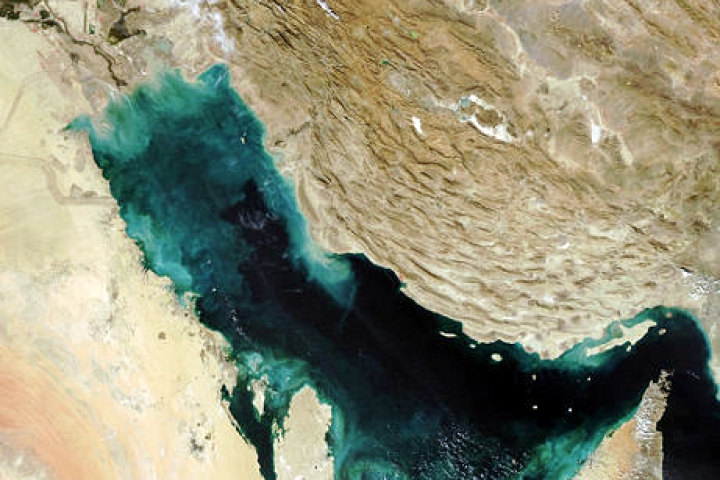
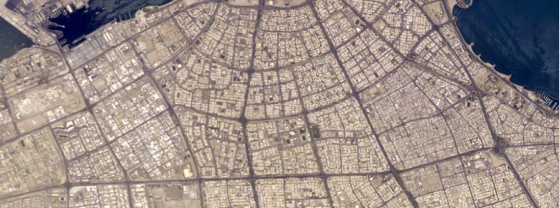
Satellite image of Arabian Peninsula

Radionuclide Station Profile
The site comprises the station building, VSAT antenna and diesel-powered electric generator. Kuwait’s RN40 is an automatic station of the RASA type—that is, a Radionuclide Aerosol Sampler and Analyzer—system. The station operators were trained during the installation of the equipment.
RASA is a fully integrated, automated system for the monitoring of airborne radionuclides. It consists of an air sampler with an operational airflow rate of 610 m3 h-1 (i.e. cubic metres of air per hour or the volume of air that passes through the filter per unit of time). The blower can provide airflow up to 1,200 m3h-1 in clean air. Because heavy airborne dust and sandstorms are weather phenomena peculiar to this area, the maximum mass flow rate that can be maintained for a day period at site is about 700 m3h-1 to avoid filter clogging due to sand in the air. The meteorological system located on the station’s roof is connected to RASA’s computer system. The following meteorological parameters are measured: precipitation, air temperature, humidity and pressure, wind speed and wind direction with ultrasonic sensor.
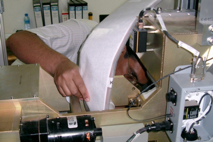
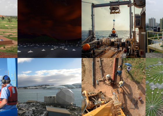
Installation of RN40

Installation of RN40

Certification, Testing and Evaluation
The site survey for the station was conducted by the CTBTO Provisional Technical Secretariat in March 2000. The preparation of infrastructure was entrusted to the Kuwait Institute for Scientific Research (KISR), while the installation of the automatic radionuclide equipment was assigned to General Dynamics, USA. RN40 commenced data transmission to the CTBTO through the Global Communications Infrastructure (GCI) in August/September 2003, following the completion of its installation. After a training and fine-tuning visit in January 2004 and the following testing and evaluation period, General Dynamics found the station well-installed and well-operated, leading to its formal certification on 20 August 2004. RN40 has been transmitting data on a regular basis since General Dynamics visited the station for training and fine-tuning in January 2004. After a certification visit and the following testing and evaluation period in 2004 the station was found to be well-installed and well-operated, leading to its formal certification on 20 August 2004.