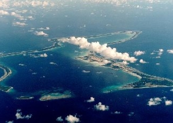
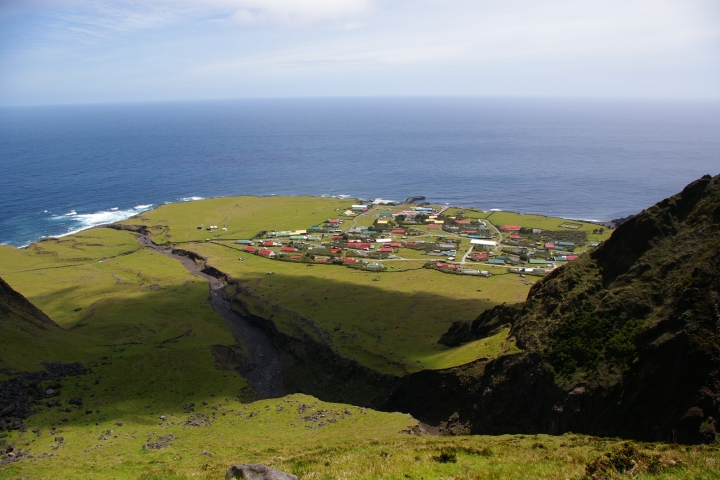
HA09, Tristan da Cunha,United Kingdom
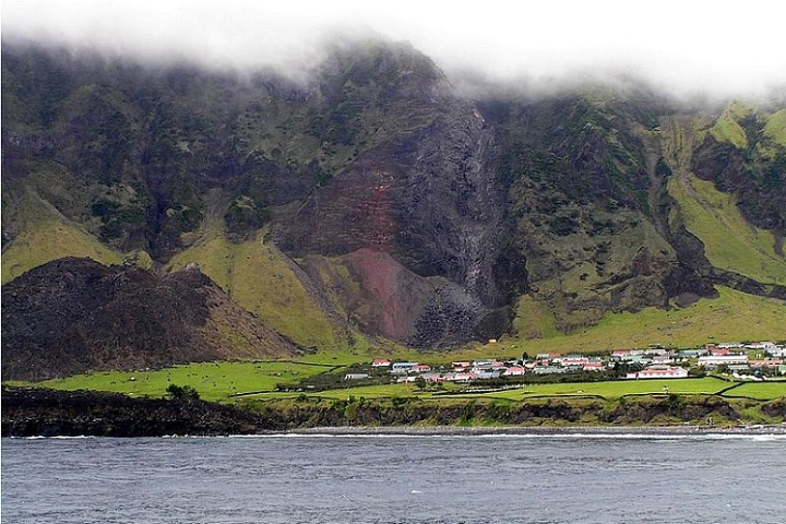
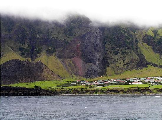
Tristan da Cunha

This station is located on the most remote inhabited island in the world. Tristan da Cunha lies some 3,000 km from the nearest mainland, standing isolated in the midst of the South Atlantic Ocean about midway between Cape Town, South Africa and Buenos Aires, Argentina. Actually it is the summit of an active volcano rising up from the ocean floor. First sighted in 1506 and named after a Portuguese sailor, Tristão da Cunha, the first survey of the archipelago was made in 1767. In 1815 the United Kingdom formally annexed the islands to keep the French from using them as a base to free Napoleon Bonaparte from his prison on the nearby island of Saint Helena.

As there is no airport, the islands can only be reached by boat.

Whalers also set up on the islands as a base for operations in the Southern Atlantic. The 1869 opening of the Suez Canal however, together with the evolution to coal-fired steam ships, reduced the relevance of the islands as a stopping port for journeys from Europe to the Far East. In 1867, the main settlement was named Edinburgh of the Seven Seas after the visit of Prince Alfred, Duke of Edinburgh and second son of Queen Victoria. On 12 January 1938 the islands were declared a dependency of St Helena.

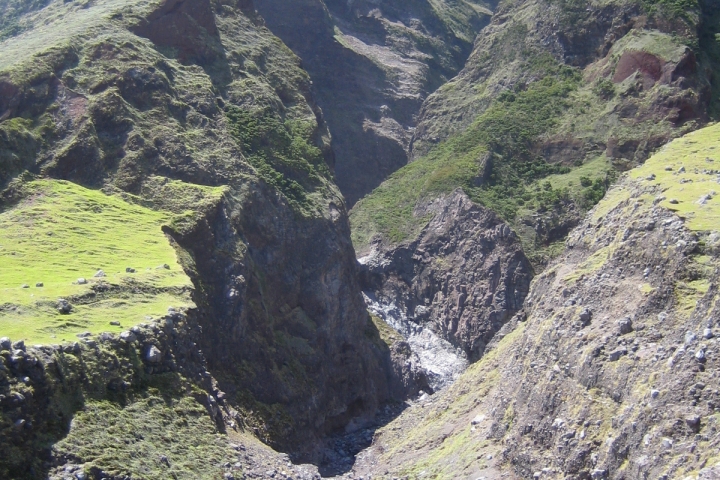
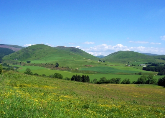
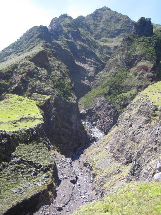
The main island is quite mountainous.

Geography and Weather

The main island is quite mountainous, the only flat area being around the capital on the northwestern coast. The highest point is a volcano called Queen Mary's Peak (2,062 m), which is snow-covered in winter. The climate is marine sub-tropical with only small fluctuations in the temperature between summer and winter. Because the island lies close to the “Roaring Forties”, the weather is liable to sudden drastic changes and is often violent.  The remote location of Tristan da Cunha makes transport to the outside world difficult as there is no airport and the islands can only be reached by boat.

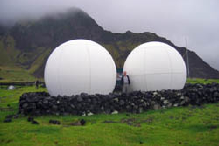
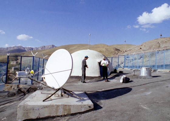
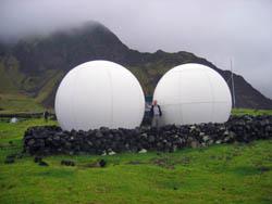
The GCI satellite dishes, known amongst the islanders as the “Tristan Golf Balls”. Credit: Government of Tristan da Cunha.

IMS Station Location and Profile

Tristan da Cunha hosts one of the IMS's 11 hydroacoustic stations used to detect natural and man-made phenomena in the oceans, including underwater nuclear detonations. This so-called T-Phase station is one of five of this type located on oceanic islands and utilizing seismometers to detect acoustic waves that are converted to seismic waves once they hit land. The Hydroacoustic T-phase station HA09 consists of two three-component seismometers.  The northern one is located near the settlement Edinburgh-of-the-Seven-Seas about 500 m from the coast while the western one is located on a flat area called Potato Patches about one kilometre from the sea.

Infrasound station IS49 is co-located with HA09.

In each element site, three principal sub-structures can be found: a data acquisition system, power supply system and satellite communications system. At the northern element site near the village, cultural noise includes people, vehicles, etc. Although livestock are virtually the only source of human-related noise in the vicinity of the western element site, this area is subject to extreme sporadic winds. This exposure to winds that can transport both infrasound sound waves and airborne radionuclide particles from afar makes the island of Tristan da Cunha ideal for infrasound and radionuclide measurements. The absence of larger human settlements and traffic allow for high-precision seismic and infrasound measurements. The island was therefore also selected to host infrasound station IS49 and radionuclide station RN68. This particular trilogy of IMS stations is also found  on another remote British overseas territory.

The IMS stations have contributed to the development of the island.

Contributing to the Develpment of the Island
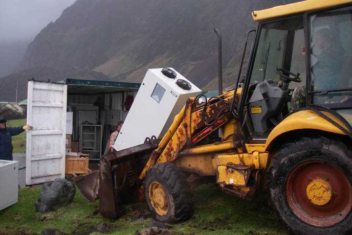
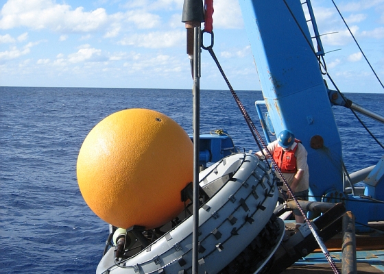
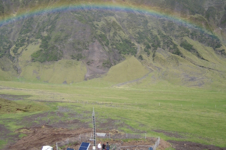
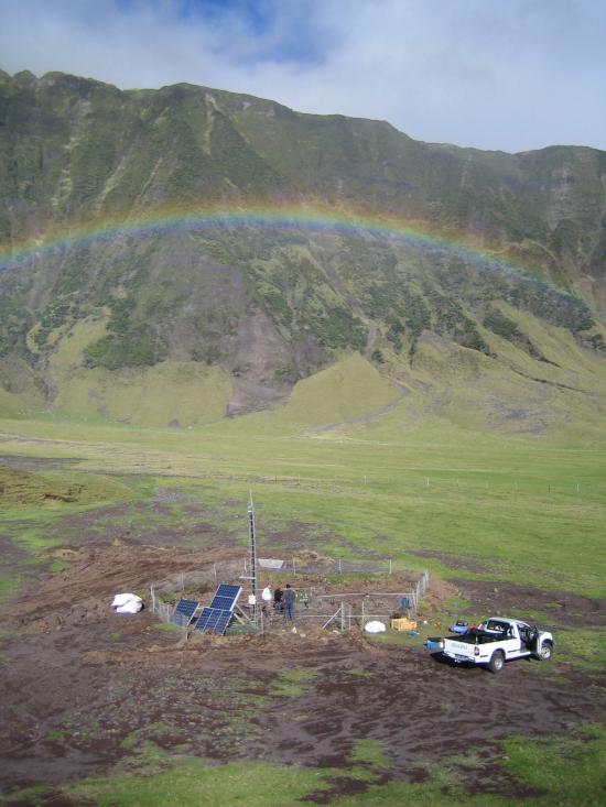
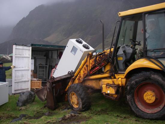
With the establishment of the three IMS stations, a continuous power source was installed at Tristan da Cunha. This power source also provides electricity free of charge to the few homes on the island for eight hours at nighttime, who now enjoy, an uninterrupted power supply for the first time. The IMS stations have thereby contributed to the life and economy of the island. The Tristan da Cunha Government has devoted a part of its website to the IMS stations on the island. Learn more about how the hydroacoustic technology works.

Installing HA09.

Station History

This new IMS station was designed collaboratively by the CTBTO's Provisional Technical Secretariat and Nanometrics with construction management and support provided by Guralp Systems. In total, three trips to Tristan da Cunha between 2001 and 2004 were required to complete station installation.

Certification, Testing and Evaluation

HA09 data began to arrive at the IMS in March 2004. The station started transmitting data to the CTBTO's International Data Centre (IDC) for testing purposes in November 2004 without any major problems. Thus, it was certified on 22 December 2004.

The island's remoteness made it harder for our installation team, but others clearly benefit...

Due to the extreme remoteness of Tristan da Cunha and the lack of regular transport, the installation team completed site construction and conducted equipment installation and certification tests all during the same visit. In total, the United Kingdom hosts one auxiliary seismic station, two hydroacoustic stations, four infrasound stations, four radionuclide stations and one radionuclide laboratory.